
BARRANCO DE LAS UMBRÍAS Y LA DEHESA DESDE GUDAR
Trail photos


Author

Trail stats
- Distance
- 6.36 mi
- Elevation gain
- 981 ft
- Technical difficulty
- Easy
- Elevation loss
- 981 ft
- Max elevation
- 5,509 ft
- TrailRank
- 42
- Min elevation
- 4,662 ft
- Trail type
- Loop
- Time
- 3 hours 49 minutes
- Coordinates
- 862
- Uploaded
- April 14, 2023
- Recorded
- April 2023
near Gúdar, Aragón (España)
Viewed 34 times, downloaded 0 times
Trail photos
Itinerary description
9:45 de la mañana. Dejamos el coche junto al ayuntamiento de Gudar.
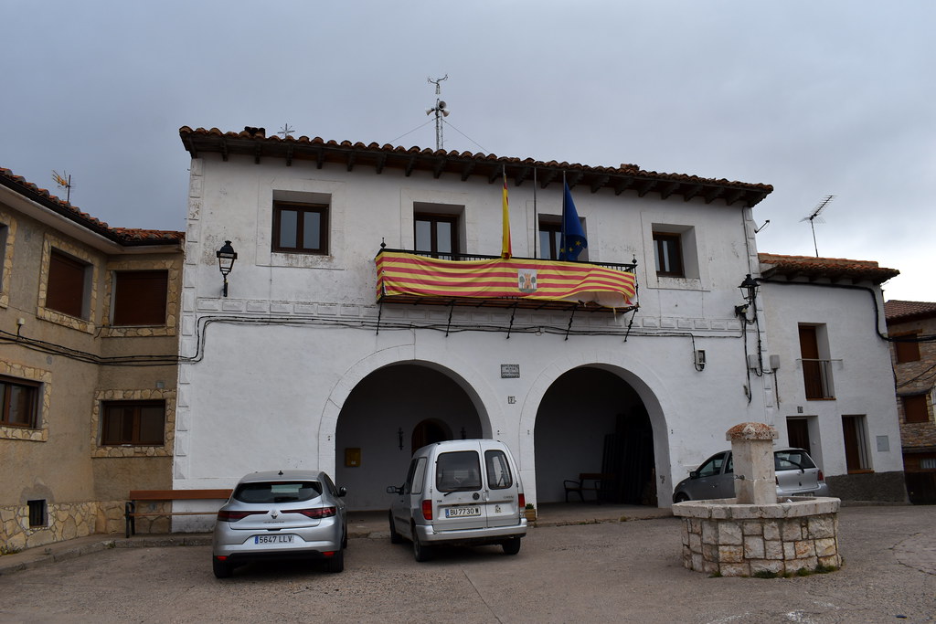
Vista desde el parking.
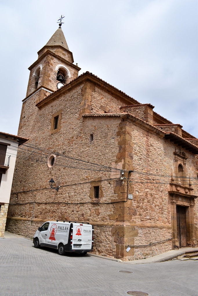
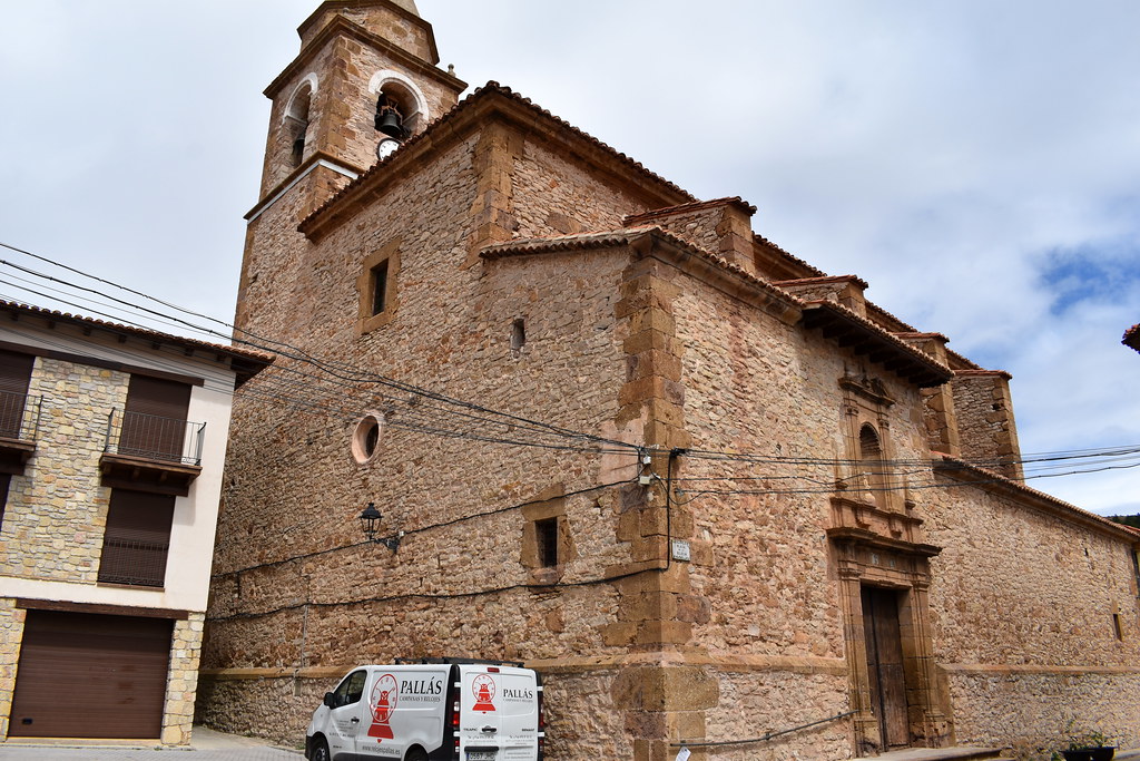
Pasamos junto a la iglesia. Luego comeremos en el bar que se ve ahí mismo.

Vamos hacia la parte alta del pueblo.

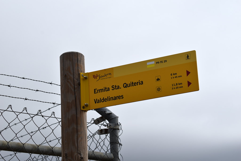
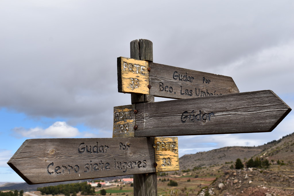
Señales.
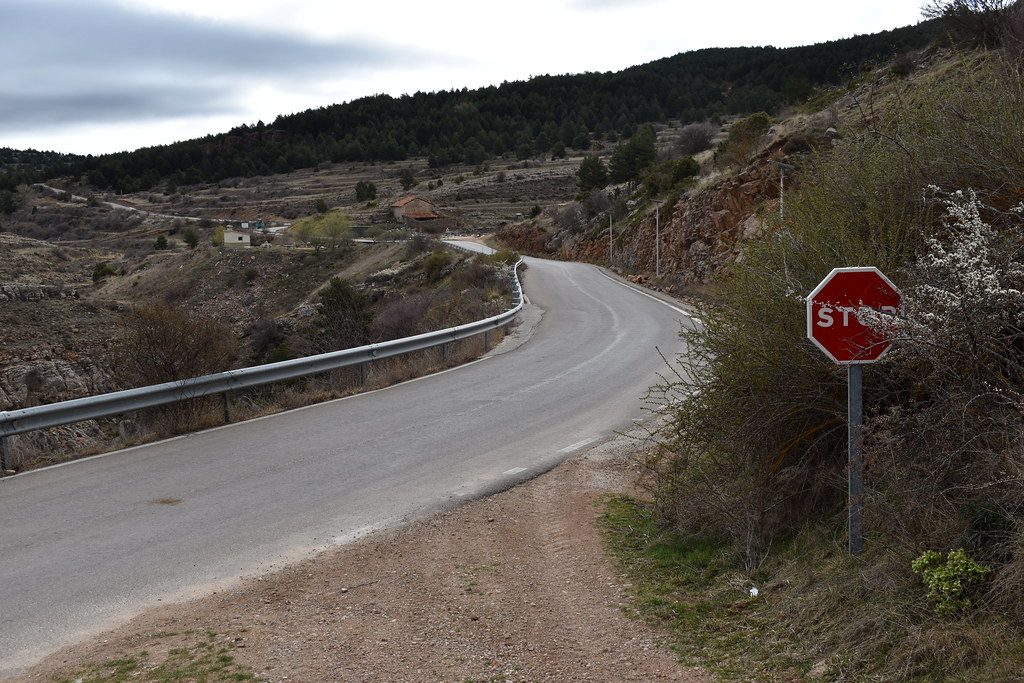
Haremos un tramo corto por carretera, pero apenas hay tráfico.
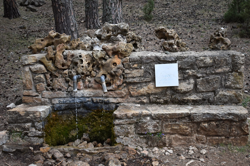
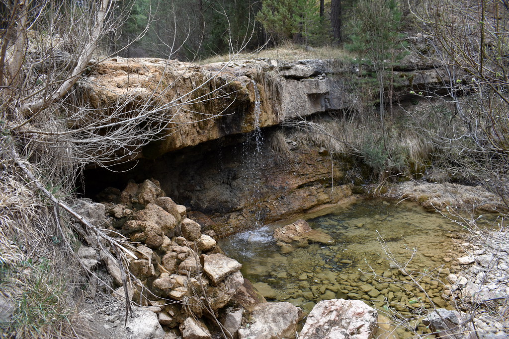
Este área con fuente, en obras.


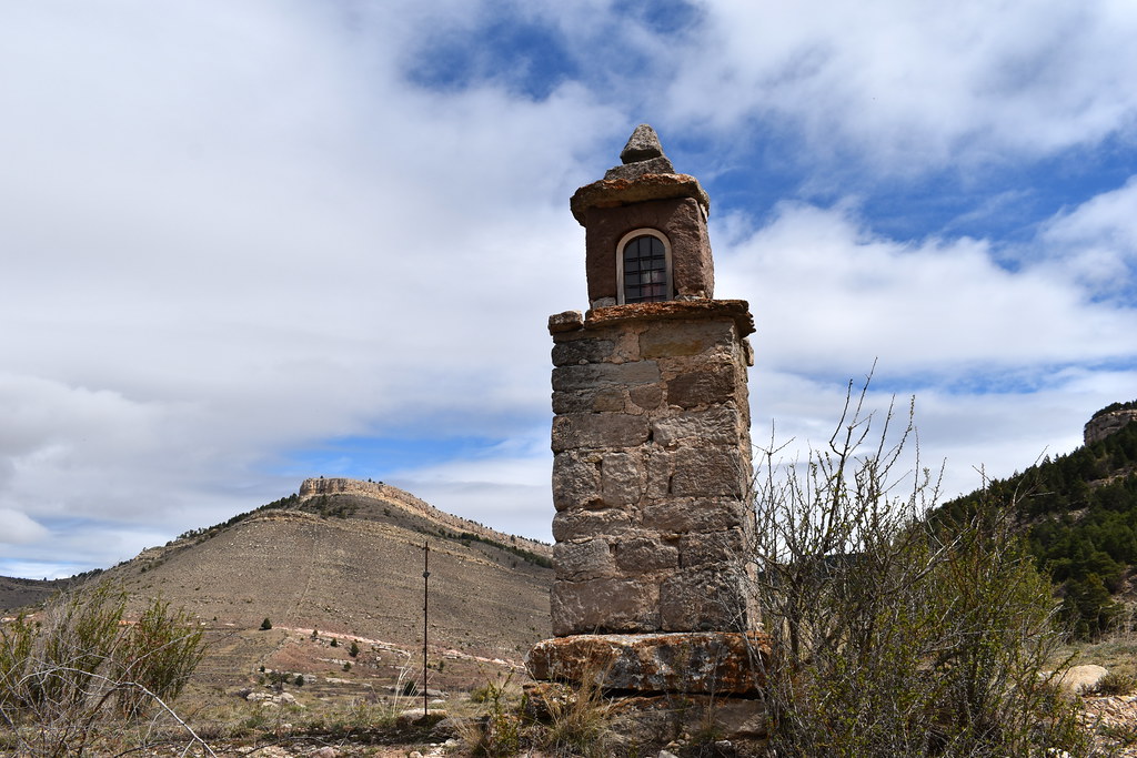
Pasamos junto a la imagen.

Aquí cogemos el desvío.

Cogemos el sendero.
Majada de los Doces.


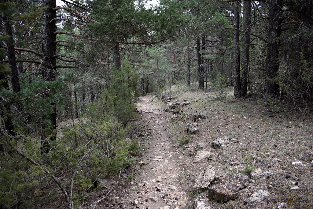
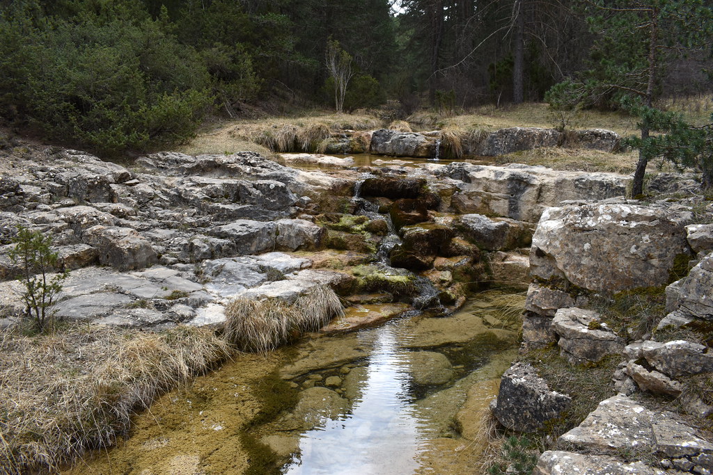
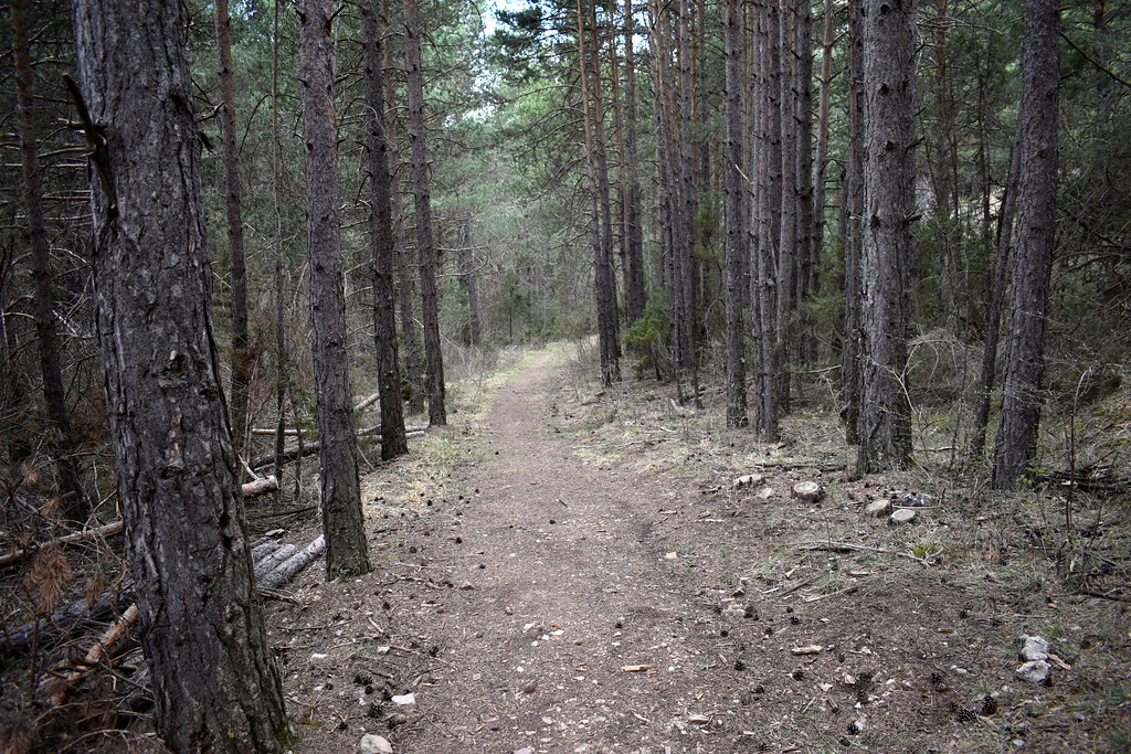
Nos metemos en bosque.
Hoy veremos muchos mojones

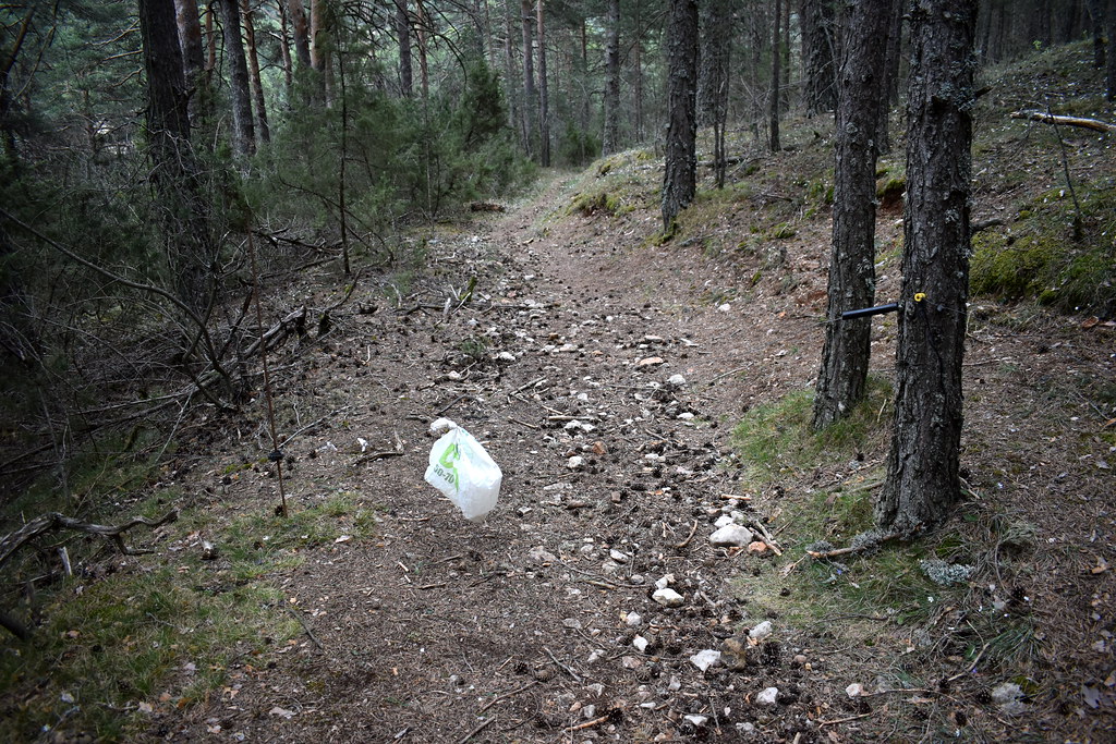
Aquí ojo con el "pastor eléctrico", si no es por la bolsa no lo ves.
Tala de árboles, pero el camino está limpio.

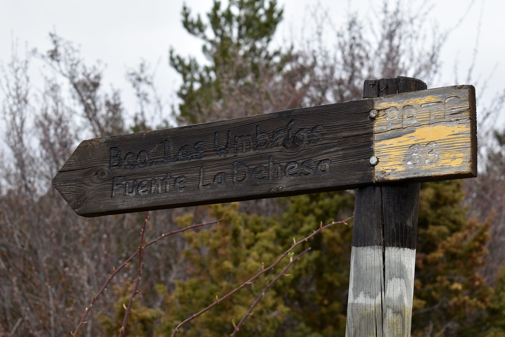
Está muy bien señalizado.

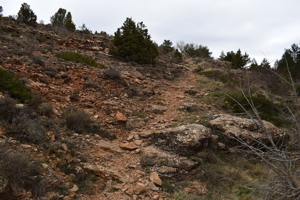
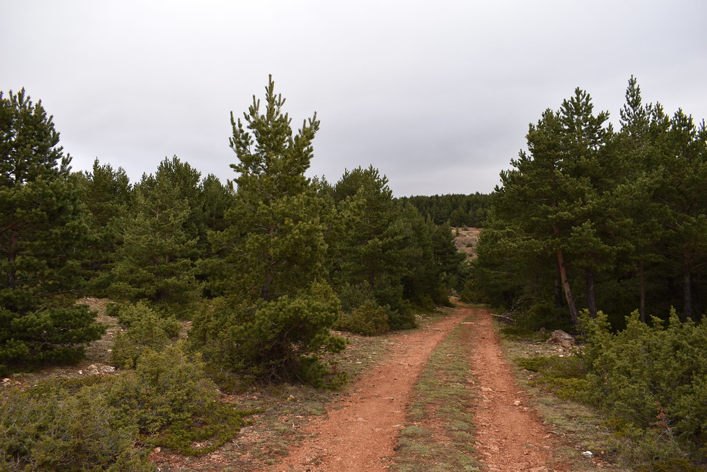
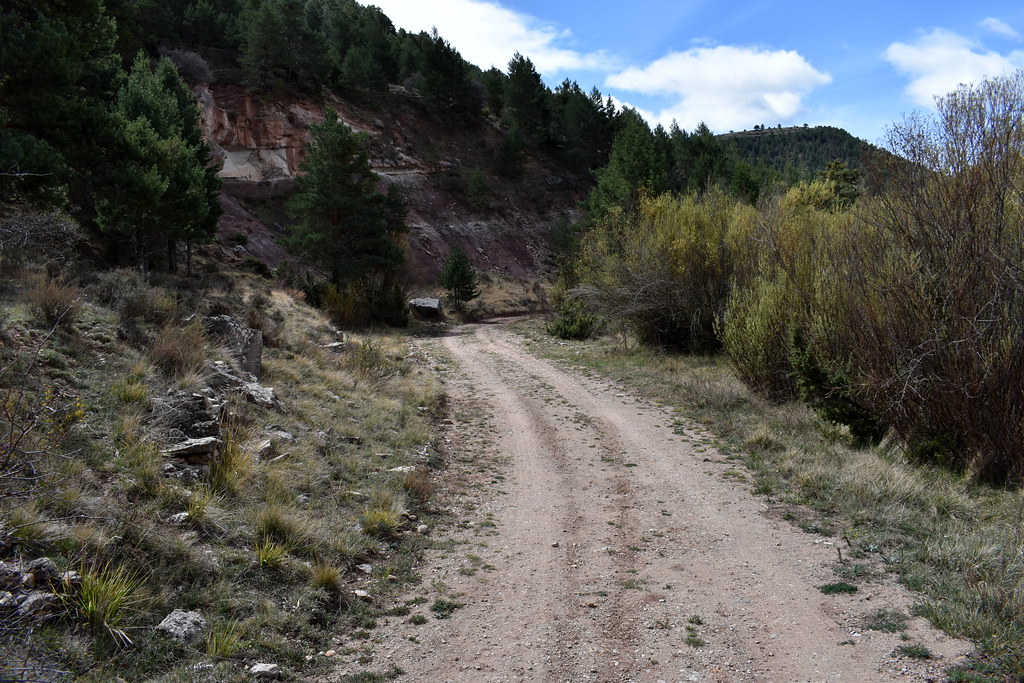
Seguimos la pista.


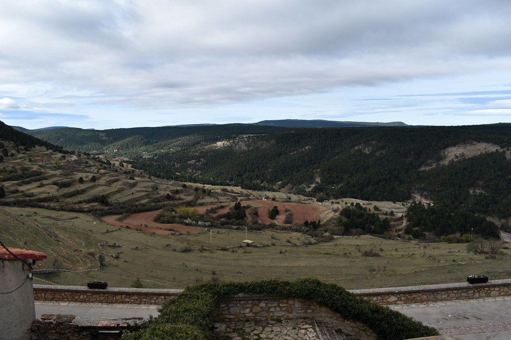
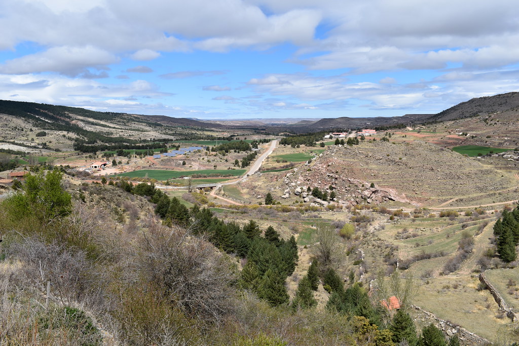
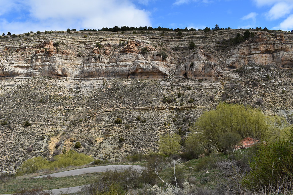
Llegamos a La Dehesa.


Volvemos sobre nuestros pasos.

Y cogemos el desvío.


En esta zona parece que se corta el camino y no se ve claro, hay que hacer una destrepada, pero es muy sencilla, te sientas en el suelo y apoyas los pies en el suelo, no tiene peligro.
Aquí la puedes ver una vez hecha.


Un nido bajo.

Y salimos del bosque.


Árboles gemelos.

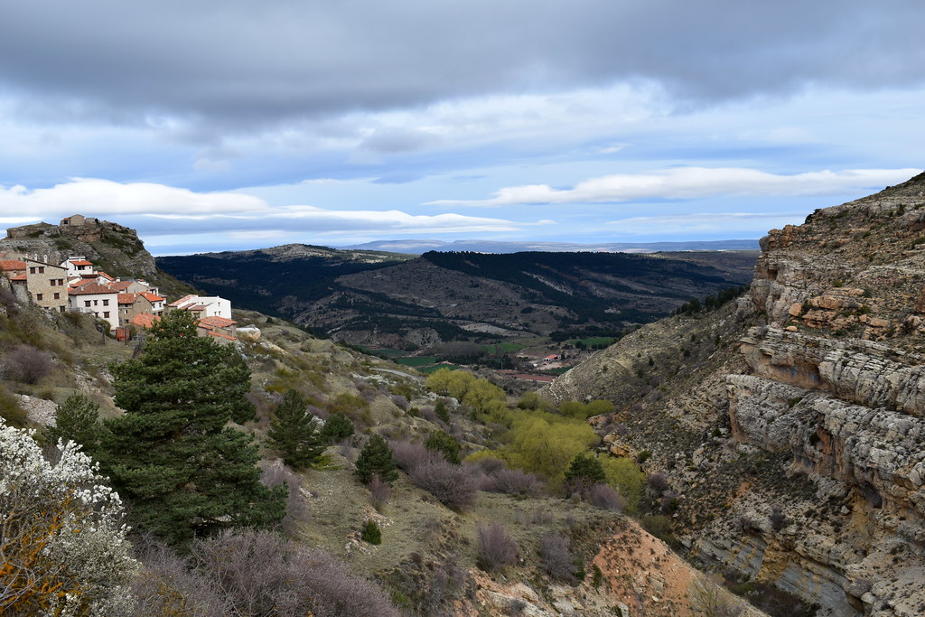
Ya vemos Gudar por las alturas.


Nosotros hacia Gudar. Subiremos por la carretera, bastante pendiente y sin tráfico.
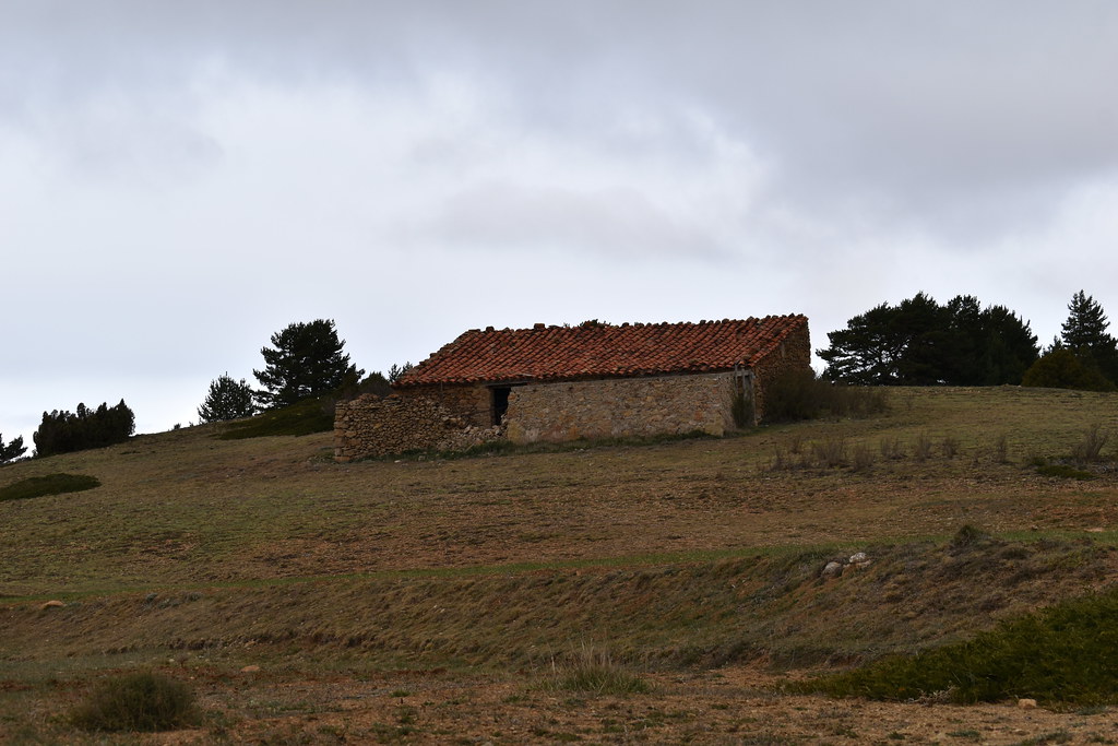
Masía de la Costera.
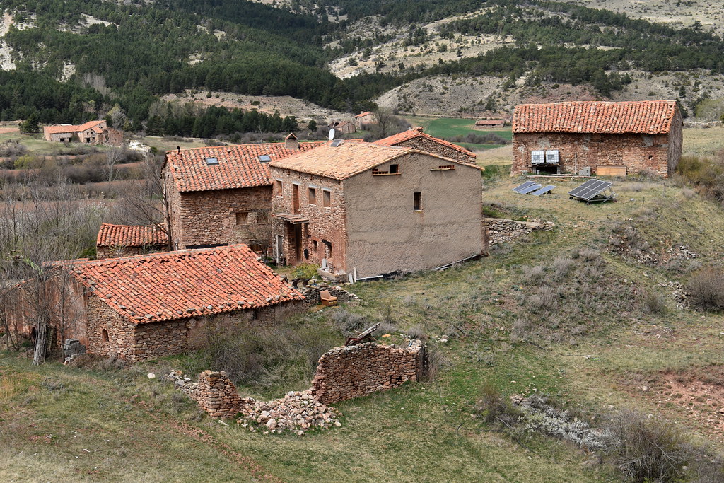
Imagen.
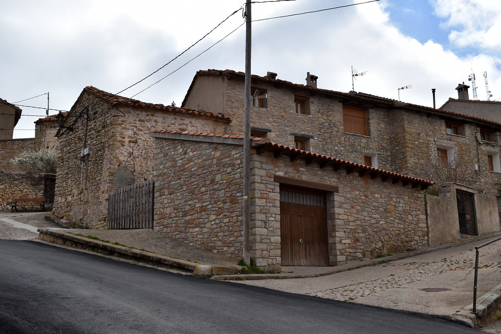
Y entramos en Gudar.

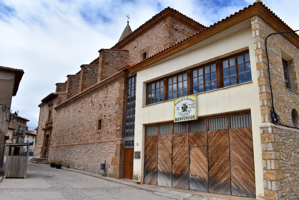
Pasamos junto a la Iglesia.
Y sobre las 13:30 terminamos la ruta.
Vista desde el parking.
Pasamos junto a la iglesia. Luego comeremos en el bar que se ve ahí mismo.
Vamos hacia la parte alta del pueblo.
Señales.
Haremos un tramo corto por carretera, pero apenas hay tráfico.
Este área con fuente, en obras.
Pasamos junto a la imagen.
Aquí cogemos el desvío.
Cogemos el sendero.
Majada de los Doces.
Nos metemos en bosque.
Hoy veremos muchos mojones
Aquí ojo con el "pastor eléctrico", si no es por la bolsa no lo ves.
Tala de árboles, pero el camino está limpio.
Está muy bien señalizado.
Seguimos la pista.
Llegamos a La Dehesa.
Volvemos sobre nuestros pasos.
Y cogemos el desvío.
En esta zona parece que se corta el camino y no se ve claro, hay que hacer una destrepada, pero es muy sencilla, te sientas en el suelo y apoyas los pies en el suelo, no tiene peligro.
Aquí la puedes ver una vez hecha.
Un nido bajo.
Y salimos del bosque.
Árboles gemelos.
Ya vemos Gudar por las alturas.
Nosotros hacia Gudar. Subiremos por la carretera, bastante pendiente y sin tráfico.
Masía de la Costera.
Imagen.
Y entramos en Gudar.
Pasamos junto a la Iglesia.
Y sobre las 13:30 terminamos la ruta.

Waypoints
 Waypoint
 5,214 ft


You can add a comment or review this trail
Comments