
ERNIO Y GAZUME. CIRCULAR DESDE ITURRIOTZ.
Trail photos


Author

Trail stats
- Distance
- 6.91 mi
- Elevation gain
- 2,146 ft
- Technical difficulty
- Easy
- Elevation loss
- 2,146 ft
- Max elevation
- 3,509 ft
- TrailRank
-
73
 4.7
4.7
- Min elevation
- 1,939 ft
- Trail type
- Loop
- Time
- 3 hours 25 minutes
- Coordinates
- 920
- Uploaded
- May 31, 2020
- Recorded
- May 2020
near Goiballara, País Vasco (España)
Viewed 897 times, downloaded 75 times
Trail photos
Itinerary description
Se trata de la subida clásica a Ernio desde Iturriotz.
8:30 de la mañana. Dejamos el coche en el parking, que estaba casi lleno, se ve que después de 2 meses encerrados en casa, estamos con ganas de monte.


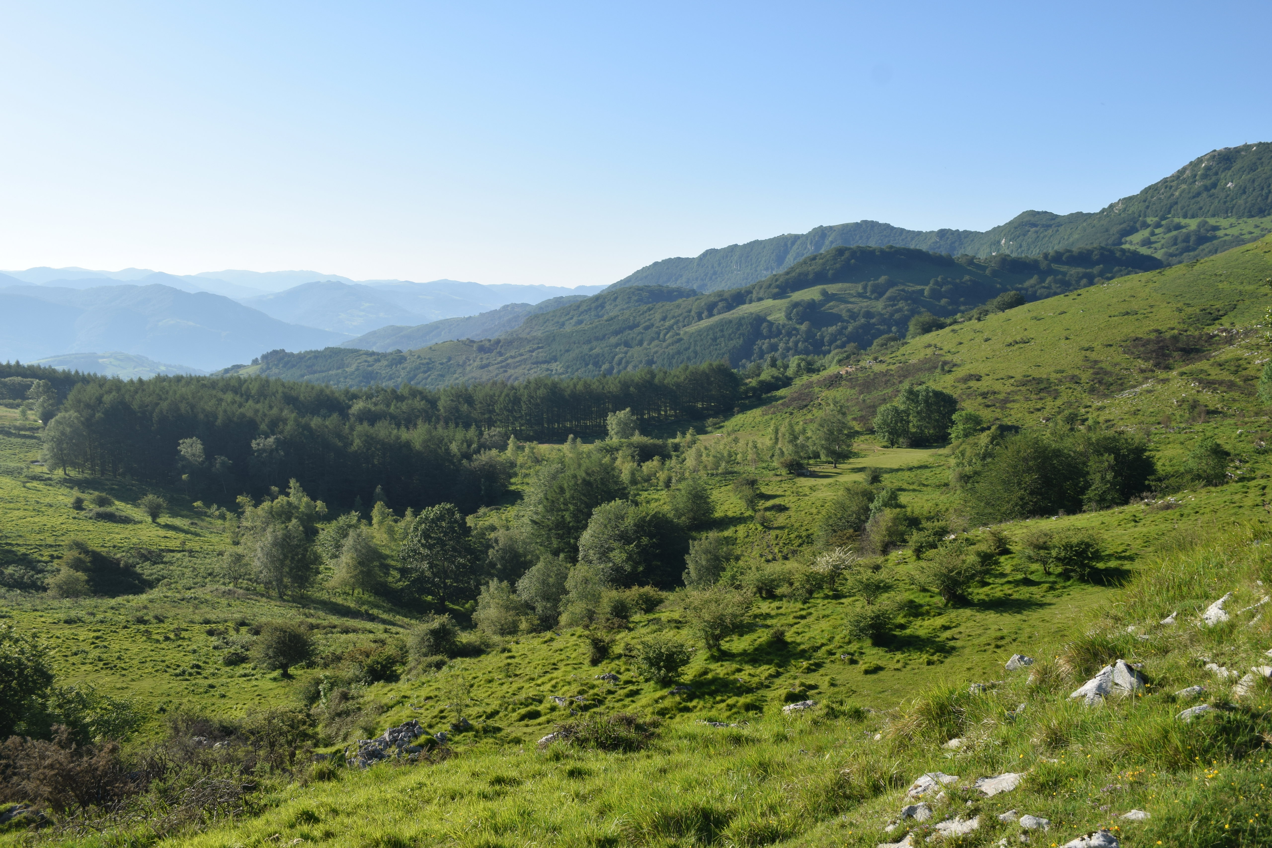
Subimos por bosque hasta llegar ya a la zona abierta. A partir de aquí a gozar con las vistas.

45 minutos. Llegamos a las ventas de Zelatun, estaban abiertas para tomar algo.

Subida poco a poco, hasta llegar a la borda y los aros.


1 hora 15 minutos. De ahí un paseo hasta la cima. Mucha gente.


Bajamos de vuelta hasta Zelatun.
De ahí sale un camino precioso, a veces por bosque y a veces con muy buenas vistas.
No despistarse en un cruce que cogemos a derecha, y por una cuesta bastante empinada, cogemos altura y ya vamos paseando
2 horas 30 minutos. Cima de Gazume. Toda esa zona las vistas son espectaculares.


Bajamos y retomamos el camino de subida, que nos lleva de vuelta a Iturriotz.


8:30 de la mañana. Dejamos el coche en el parking, que estaba casi lleno, se ve que después de 2 meses encerrados en casa, estamos con ganas de monte.
Subimos por bosque hasta llegar ya a la zona abierta. A partir de aquí a gozar con las vistas.
45 minutos. Llegamos a las ventas de Zelatun, estaban abiertas para tomar algo.
Subida poco a poco, hasta llegar a la borda y los aros.
1 hora 15 minutos. De ahí un paseo hasta la cima. Mucha gente.
Bajamos de vuelta hasta Zelatun.
De ahí sale un camino precioso, a veces por bosque y a veces con muy buenas vistas.
No despistarse en un cruce que cogemos a derecha, y por una cuesta bastante empinada, cogemos altura y ya vamos paseando
2 horas 30 minutos. Cima de Gazume. Toda esa zona las vistas son espectaculares.
Bajamos y retomamos el camino de subida, que nos lleva de vuelta a Iturriotz.

Waypoints


 Waypoint
 3,136 ft
08 MENDIBELTZ (969m)


Comments (2)
You can add a comment or review this trail
I have followed this trail verified View more
Information
Easy to follow
Scenery
Moderate
Espectacular y divertida ruta, que conviene realizar en días soleados para disfrutar de las magnificas vistas. En los fines de semana hay que madrugar para aparcar sin problema en Iturriotz y subir al Hernio con poca gente. Dificultad fácil o moderada dependiendo del estado de forma. Hay que llevar bastones, para evitar resbalones en las zonas pedregosas y/o embarradas
La verdad que es una ruta muy muy bonita, me alegro que la hayas disfrutado.
Efectivamente, en domingos de buen tiempo se pone a tope, y a veces cuesta aparcar.
Gracias por comentar.
Saludos