
ETAPA 4 · CAMINO de SAN SALVADOR : Herías - Mieres · 🎥 Vídeo
Trail photos


Author

Trail stats
- Distance
- 14.27 mi
- Elevation gain
- 302 ft
- Technical difficulty
- Moderate
- Elevation loss
- 1,450 ft
- Max elevation
- 1,896 ft
- TrailRank
- 31
- Min elevation
- 668 ft
- Trail type
- One Way
- Coordinates
- 307
- Uploaded
- July 2, 2018
- Recorded
- July 2018
near La Frecha, Asturias (España)
Viewed 3143 times, downloaded 20 times
Trail photos
Itinerary description
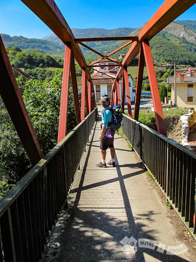
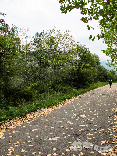
Herías - Mieres / 22 Kms / Etapa 4 del Camino de San Salvador. Después de descansar plácidamente en el albergue de Bendueños tras la dura estapa del día anterior, partimos hasta Mieres. En el trayecto, podremos disfrutar de unas de las joyas del prerrománico aturiano: Santa Cristina de Lena.
Más información en el siguiente vídeo:
- - - - - - - - - - - - - - -- - - - - - - - - - - - - - - -
► SUSCRÍBETE PARA MÁS VÍDEOS
- - - - - - - - - - - - - - -- - - - - - - - - - - - - - - - -
►SÍGUENOS en las REDES SOCIALES:
FACEBOOK
INSTAGRAM
TWITTER
- - - - - - - - - - - - - - -- - - - - - - - - - - - - - - - -
► BLOG
#caminodesansalvador
Más información en el siguiente vídeo:
- - - - - - - - - - - - - - -- - - - - - - - - - - - - - - -
► SUSCRÍBETE PARA MÁS VÍDEOS
- - - - - - - - - - - - - - -- - - - - - - - - - - - - - - - -
►SÍGUENOS en las REDES SOCIALES:
- - - - - - - - - - - - - - -- - - - - - - - - - - - - - - - -
► BLOG
#caminodesansalvador
Waypoints
 Waypoint
 0 ft
0 ft
FIN ETAPA
Waypoint
0 ft
INICIO ETAPA
Waypoint
0 ft
SALIENDO de ERÍAS
 Waypoint
0 ft
Waypoint
0 ft
PISTA ASFALTADA (CAMPOMANES)


 River
River


 Religious site
0 ft
Religious site
0 ft
IGLESIA de la TEYERA


 Waypoint
0 ft
Waypoint
0 ft
DIRECCIÓN MIERES
 Waypoint
0 ft
Waypoint
0 ft
CARRIL PEATONAL-BICI
 Waypoint
0 ft
Waypoint
0 ft
FOTO

You can add a comment or review this trail
Comments