
KUKUARRI DESDE EL CAMPING DE IGELDO
Trail photos


Author

Trail stats
- Distance
- 8.21 mi
- Elevation gain
- 804 ft
- Technical difficulty
- Easy
- Elevation loss
- 804 ft
- Max elevation
- 1,424 ft
- TrailRank
- 59
- Min elevation
- 616 ft
- Trail type
- Loop
- Time
- 3 hours 49 minutes
- Coordinates
- 971
- Uploaded
- October 31, 2021
- Recorded
- October 2021
near Igeldo, País Vasco (España)
Viewed 877 times, downloaded 20 times
Trail photos
Itinerary description
Dejamos el coche en la plaza que hay cerca del camping.
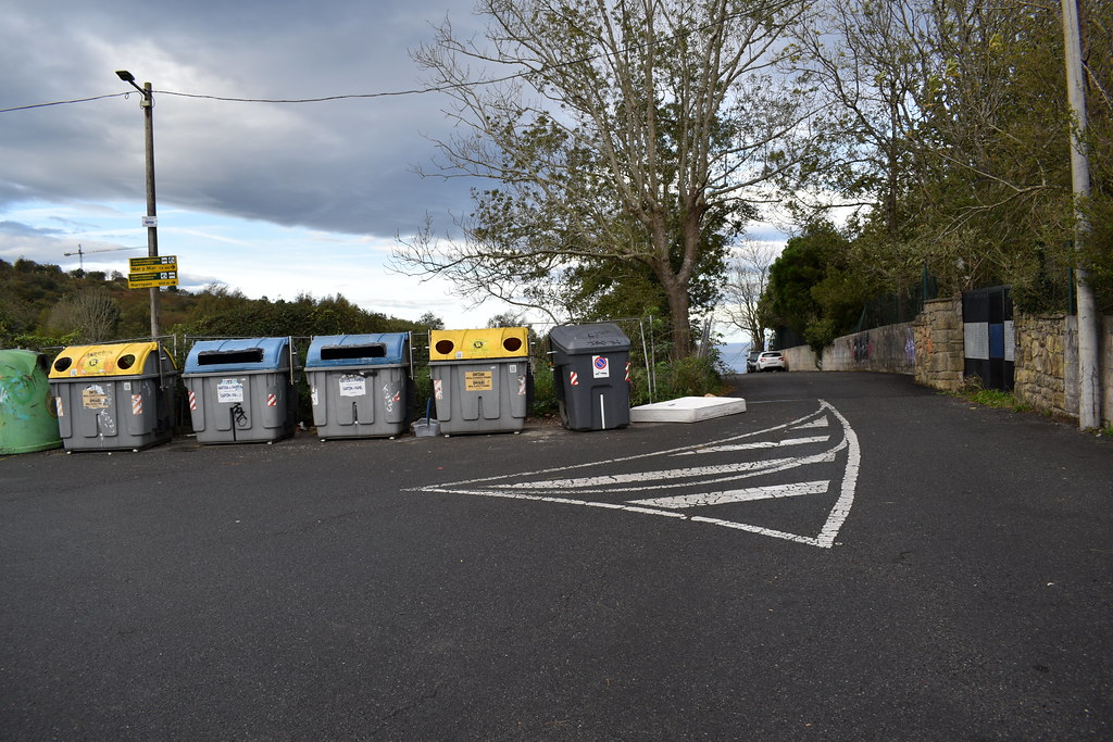
Bajamos por la pista asfaltada.

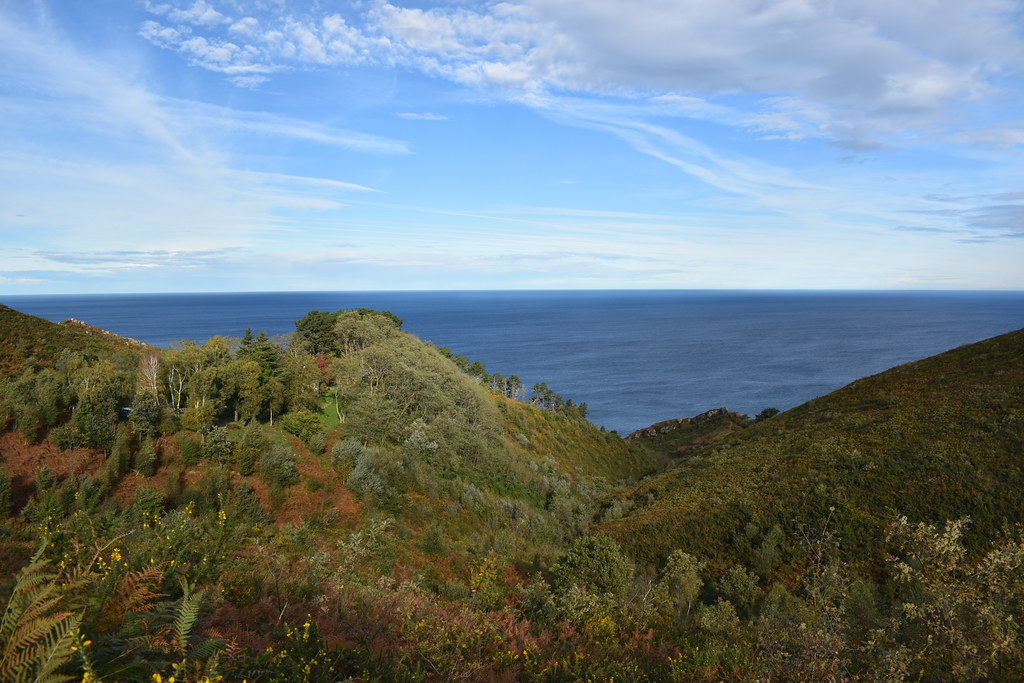
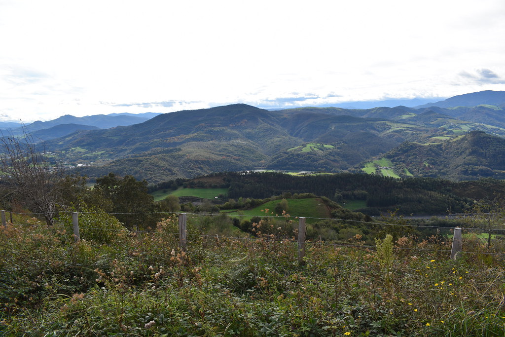
Vistas.

Cruce hacia la izquierda.

Seguimos la carretera.

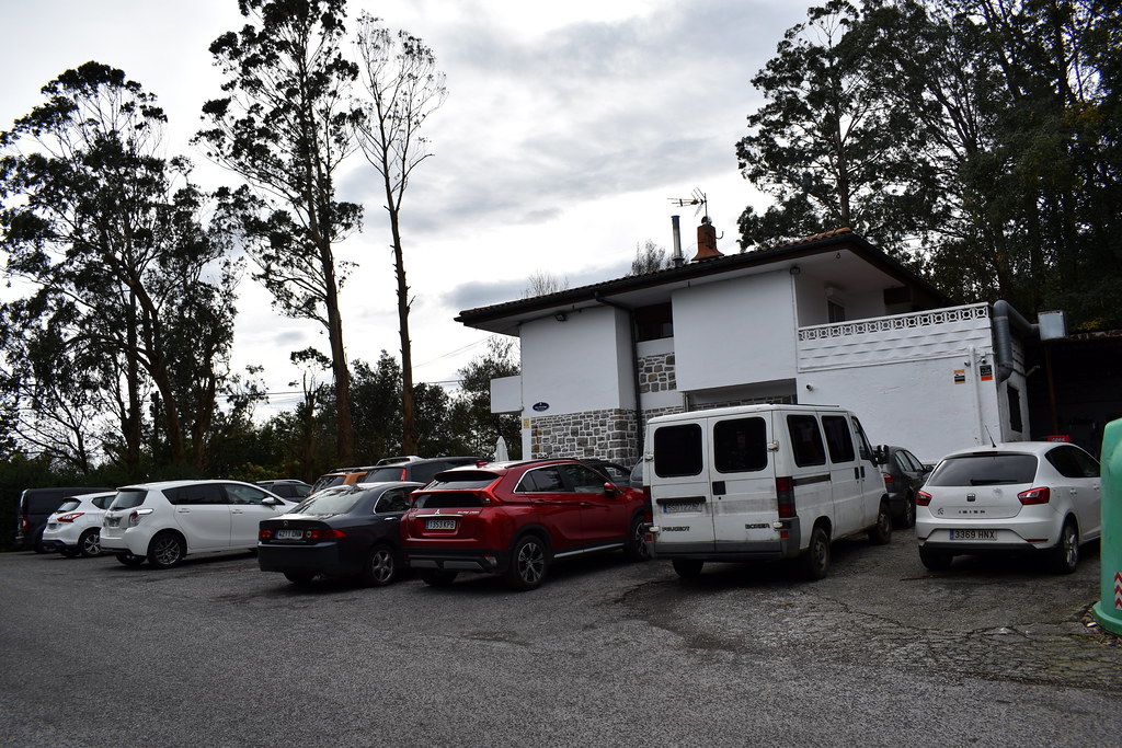
Pasamos junto al restaurante Nicolás.

Seguimos por la izquierda.

Vistas.


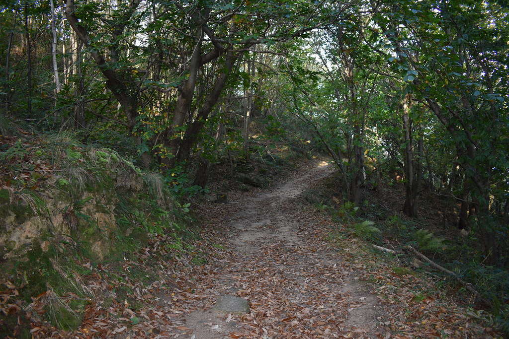
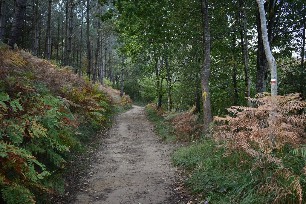
Entramos en bosque.

Dejamos el asfalto y seguimos por un sendero.


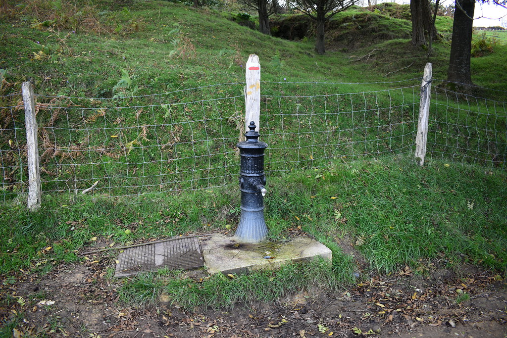
Pasamos junto a una fuente.

Seguimos con las vistas.

Seguimos camino de Santiago.

Pequeña zona de descanso.
Giramos y subimos hacia izquierda.


Entramos en un pequeño sendero.


Los senderos son muy bonitos.

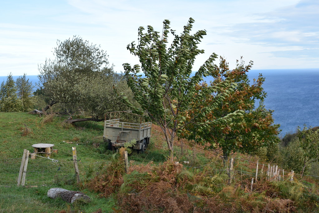
Agroturismo en obras.


Otra fuente.
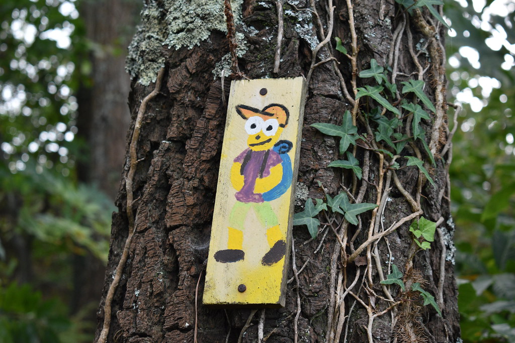
Seguimos el cartel.


Carteles en el camino.


Giramos bruscamente a derecha, buscando el sendero de subida a Kukuarri.


Cruzamos el portón.

Ya vemos la cruz al fondo.


Vistas.


Volvemos sobre nuestros pasos para empezar la vuelta.

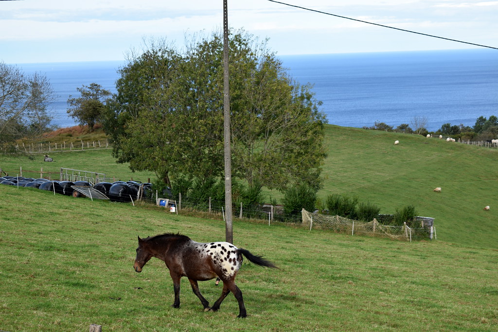
Getaria a la vista.

A partir de este momento, iremos sobre todo por asfalto, por la esquina de la carretera. En fin de semana habrá que ir con precaución, ya que puede haber tráfico.


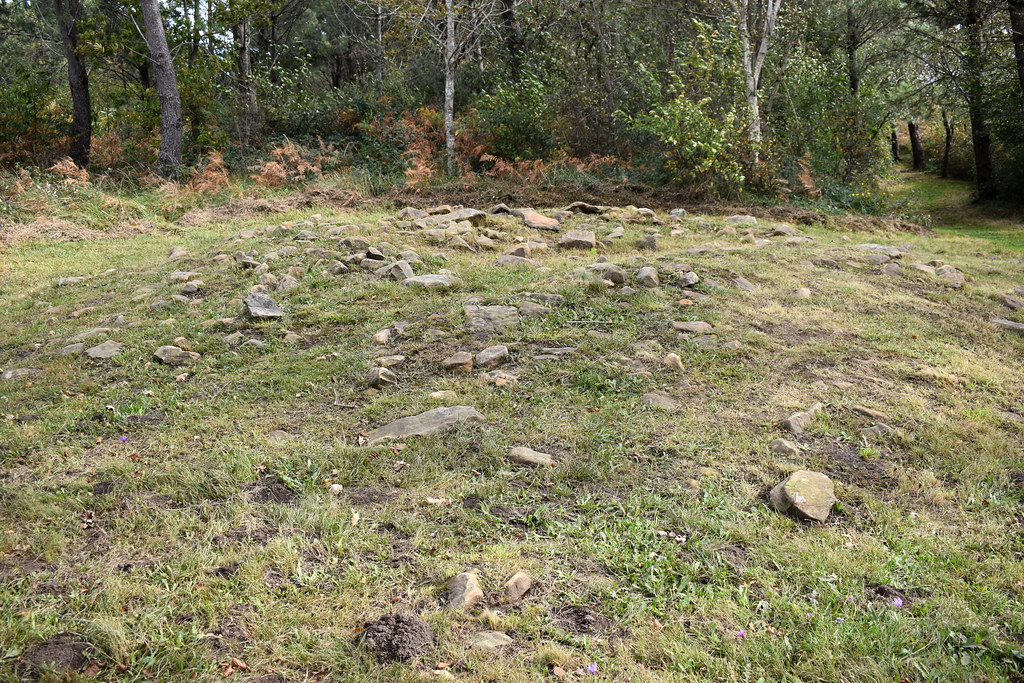
Desvío para ver los túmulos de Tontortxiki. Hay 4, para ver el 1, hay que llegar hasta la cima de Tontortxiki, nosotros no llegamos porque ibamos un poco justos de tiempo.

Se llega por un bonito sendero.


Retrocedemos y volvemos al camino.


Agroturismo Maddiola.


Restaurante Ekaitz. Un buen sitio para tomar un almuerzo.

Camping de Igeldo. Fin de la ruta.


Bajamos por la pista asfaltada.
Vistas.
Cruce hacia la izquierda.
Seguimos la carretera.
Pasamos junto al restaurante Nicolás.
Seguimos por la izquierda.
Vistas.
Entramos en bosque.
Dejamos el asfalto y seguimos por un sendero.
Pasamos junto a una fuente.
Seguimos con las vistas.
Seguimos camino de Santiago.
Pequeña zona de descanso.
Giramos y subimos hacia izquierda.
Entramos en un pequeño sendero.
Los senderos son muy bonitos.
Agroturismo en obras.
Otra fuente.
Seguimos el cartel.
Carteles en el camino.
Giramos bruscamente a derecha, buscando el sendero de subida a Kukuarri.
Cruzamos el portón.
Ya vemos la cruz al fondo.
Vistas.
Volvemos sobre nuestros pasos para empezar la vuelta.
Getaria a la vista.
A partir de este momento, iremos sobre todo por asfalto, por la esquina de la carretera. En fin de semana habrá que ir con precaución, ya que puede haber tráfico.
Desvío para ver los túmulos de Tontortxiki. Hay 4, para ver el 1, hay que llegar hasta la cima de Tontortxiki, nosotros no llegamos porque ibamos un poco justos de tiempo.
Se llega por un bonito sendero.
Retrocedemos y volvemos al camino.
Agroturismo Maddiola.
Restaurante Ekaitz. Un buen sitio para tomar un almuerzo.
Camping de Igeldo. Fin de la ruta.

Waypoints
 Waypoint
 811 ft


You can add a comment or review this trail
Comments