
MURGIL, ALMITXURI Y MUGALLEGI DESDE LARRAUL
Trail photos


Author

Trail stats
- Distance
- 4.92 mi
- Elevation gain
- 1,198 ft
- Technical difficulty
- Easy
- Elevation loss
- 1,198 ft
- Max elevation
- 1,745 ft
- TrailRank
-
57
 5
5
- Min elevation
- 822 ft
- Trail type
- Loop
- Time
- 2 hours 58 minutes
- Coordinates
- 713
- Uploaded
- May 28, 2023
- Recorded
- May 2023
near Larraul, País Vasco (España)
Viewed 135 times, downloaded 8 times
Trail photos
Itinerary description
La ruta comienza en Larraul. Podemos dejar el coche en un pequeño parking que hay a la entrada del pueblo, está indicado.

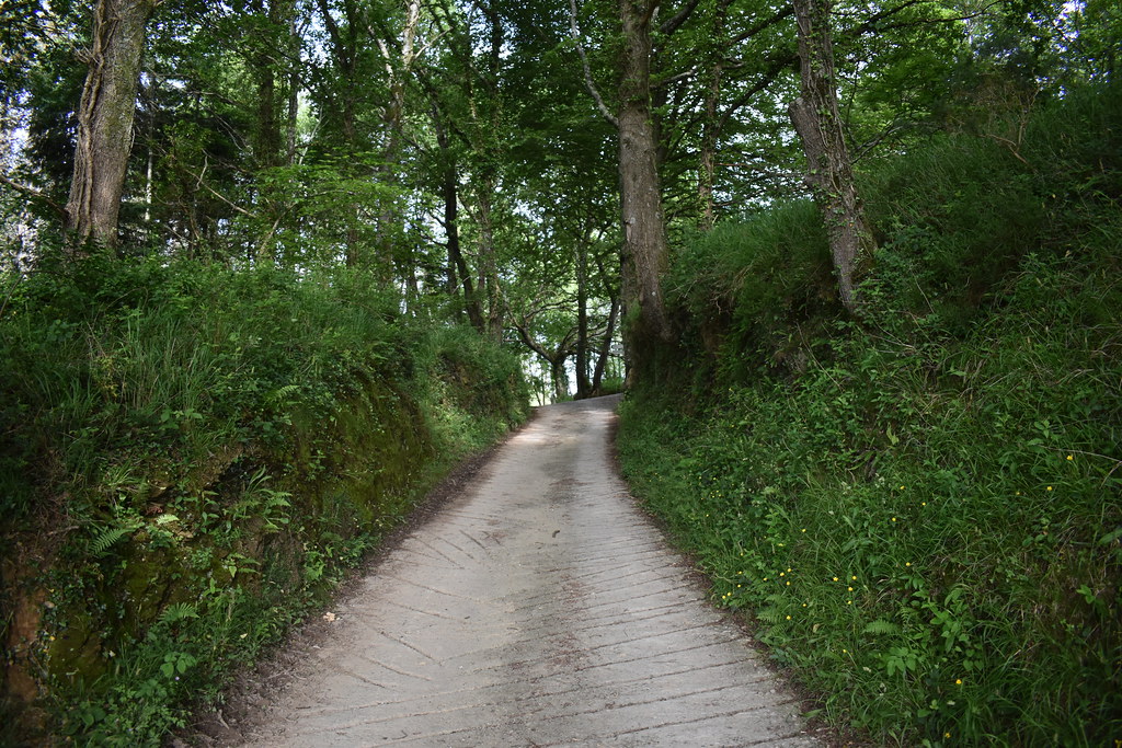
Vamos subiendo por la carretera, y dejamos atrás Larraul.


Seguimos por carretera.


Pasamos junto a una Casa rural.


Alkiza.


Nosotros hacia el depósito de agua.


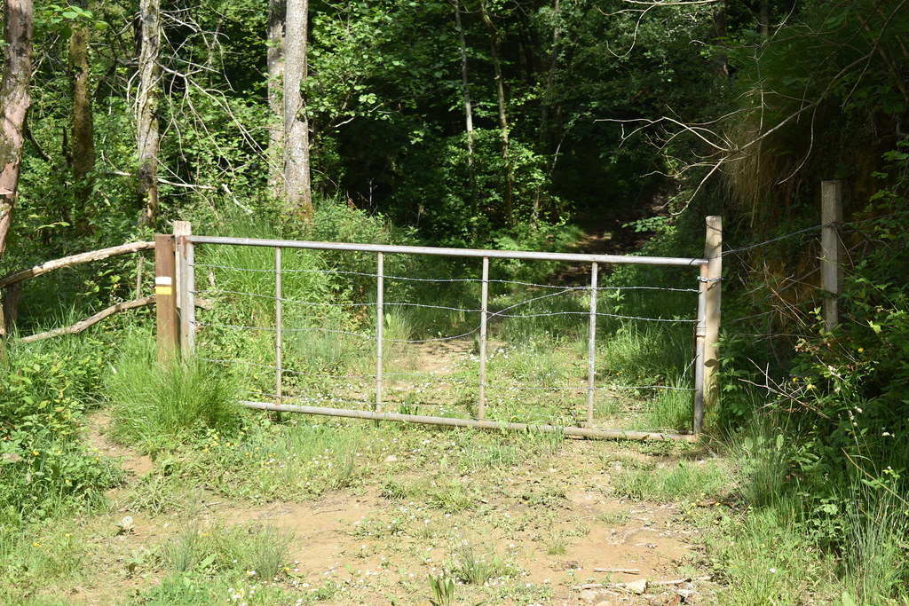
Hoy cruzaremos bastantes vallas. Aquí tenemos el primer paso.
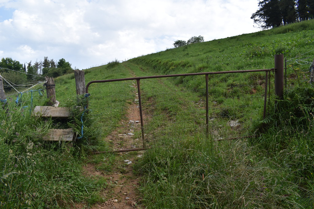
Otro paso más.

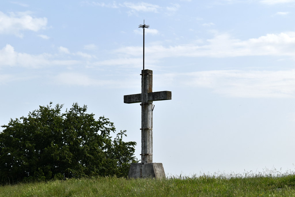
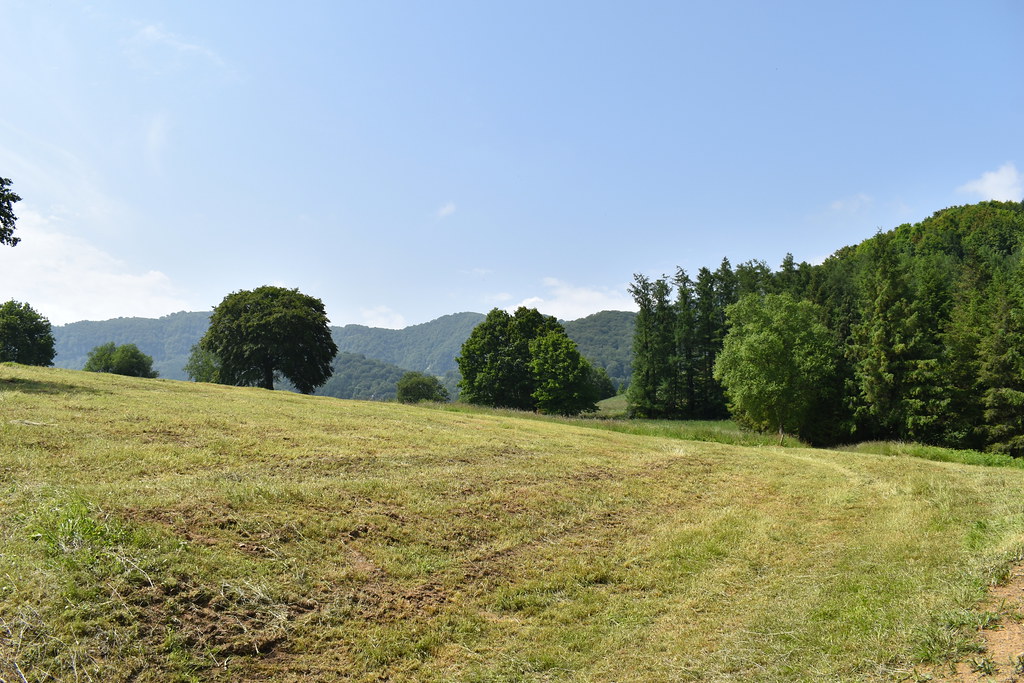
Y ya estamos en la primera cima del día, Murgil. Vistas en todas las direcciones, también hacia Ernio y Gazume.


Volvemos sobre nuestros pasos, para tomar el camino por el que veníamos.
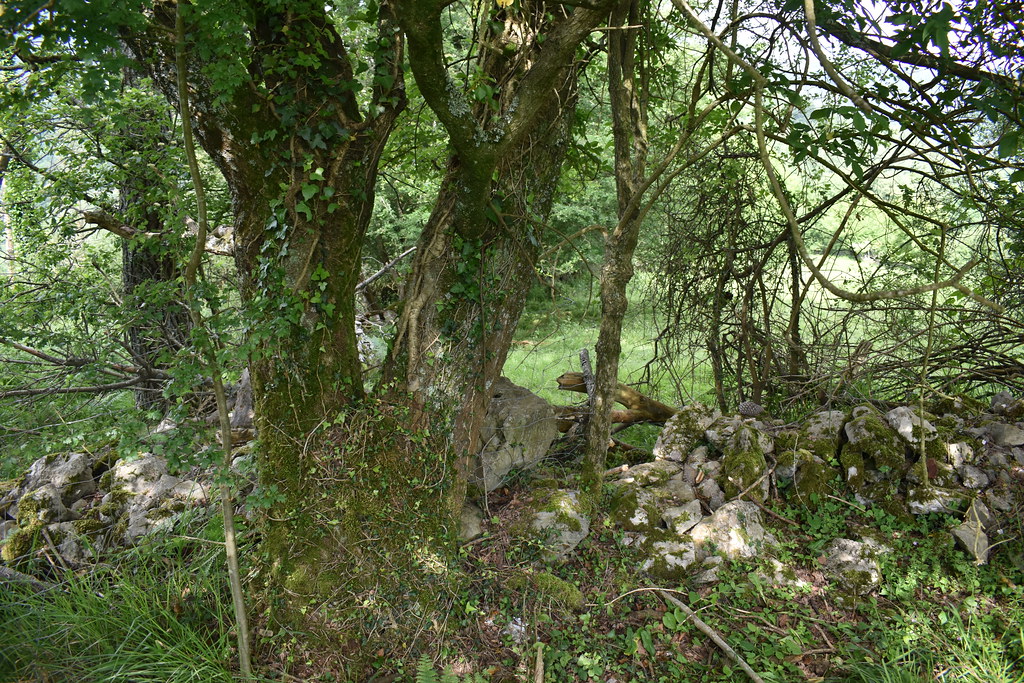
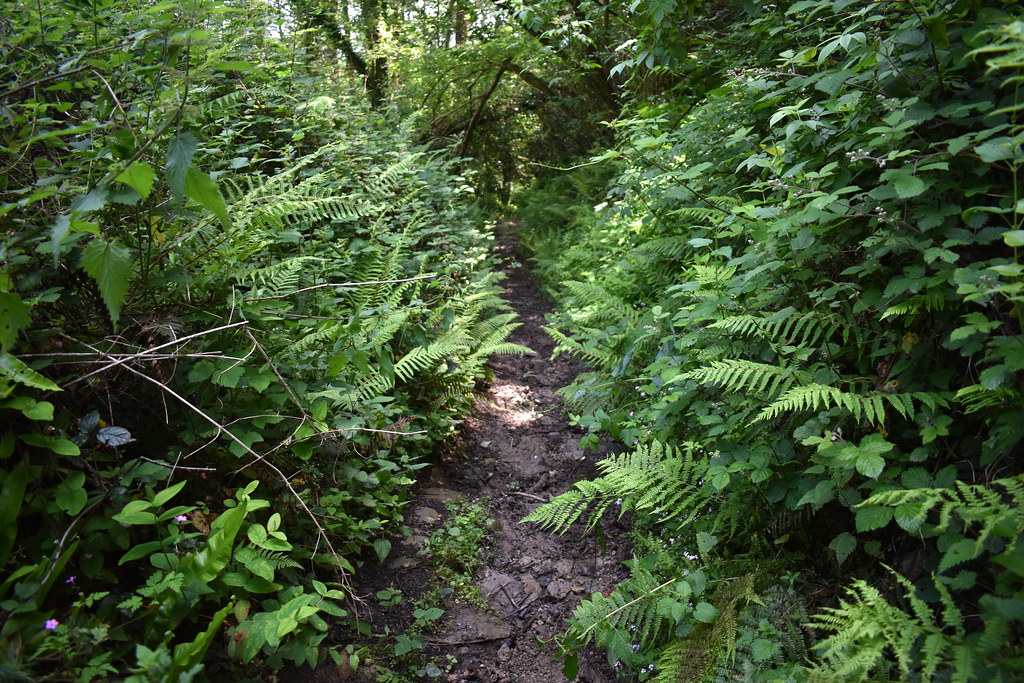
En algún momento el camino estaba bastante cerrado, pero se iba sin problemas.


Vemos otra valla.

La cruzamos.


Segunda cima del día, Almitxuri. No hay ningún identificativo, pero las vistas siguen siendo de primera.


Y seguimos la ruta, para abajo.
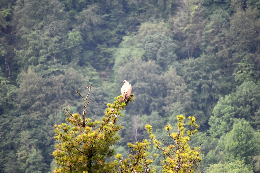
Por esta zona había varios buitres.
Y otro paso.
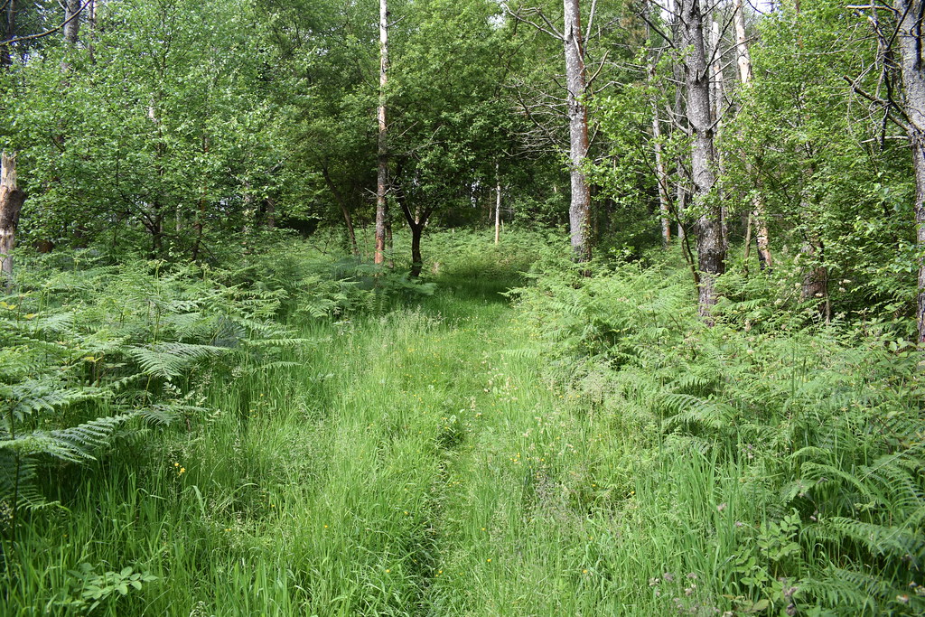
Seguimos compaginando bosque con terreno abierto.

Y otro más. Este estaba completamente cerrado.

Pero un poco más a la izquierda se podía pasar por aquí.

Seguimos.


Aquí nos vamos hacia la derecha. A la izquierda hay una furgoneta abandonada.

Otro paso más.
Carteles, aquí nosotros giramos hacia Larraul.

Subida corta hacia Mugallegi, la hierba estaba bastante alta, nosotros subimos más o menos por la valla de la izquierda, y bajamos por la derecha, más pegados al bosque, pero no hay mucha diferencia.

Cima de Mugallegi.

Hoy Ernio y Gazume se llevan el protagonismo.

Aunque en todas direcciones hay unas vistas...


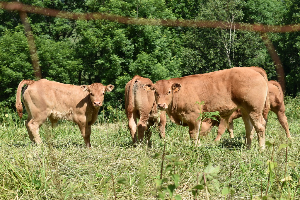
Bajamos y seguimos la ruta, haciendo amigas...

Vuelta a bosque.

Y terreno abierto.
Nos encontraremos con varios bifurcaciones, nosotros siempre a izquierda.


En estos también hacia la Izquierda.


En algún momento se cierra bastante, pero se puede pasar.
Hay un tramo que vuelves a pasar junto a varios baserris.


Ya queda poco.

La iglesia.
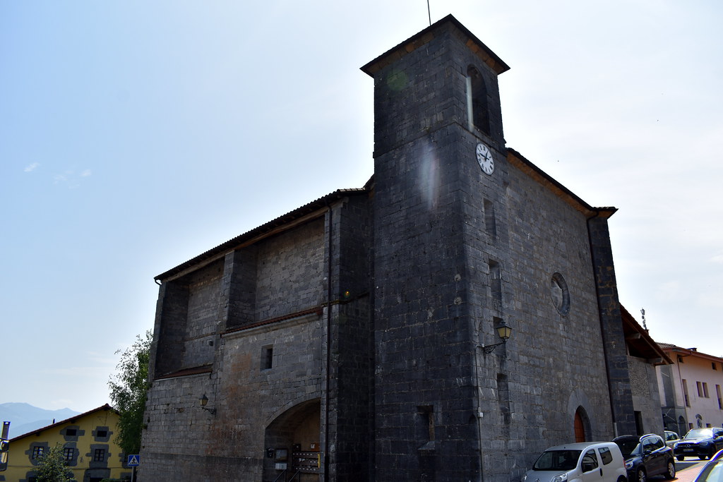
Y terminamos la ruta en la plaza, aprovechando que está el bar.


Vamos subiendo por la carretera, y dejamos atrás Larraul.
Seguimos por carretera.
Pasamos junto a una Casa rural.
Alkiza.
Nosotros hacia el depósito de agua.
Hoy cruzaremos bastantes vallas. Aquí tenemos el primer paso.
Otro paso más.
Y ya estamos en la primera cima del día, Murgil. Vistas en todas las direcciones, también hacia Ernio y Gazume.
Volvemos sobre nuestros pasos, para tomar el camino por el que veníamos.
En algún momento el camino estaba bastante cerrado, pero se iba sin problemas.
Vemos otra valla.
La cruzamos.
Segunda cima del día, Almitxuri. No hay ningún identificativo, pero las vistas siguen siendo de primera.
Y seguimos la ruta, para abajo.
Por esta zona había varios buitres.
Y otro paso.
Seguimos compaginando bosque con terreno abierto.
Y otro más. Este estaba completamente cerrado.
Pero un poco más a la izquierda se podía pasar por aquí.
Seguimos.
Aquí nos vamos hacia la derecha. A la izquierda hay una furgoneta abandonada.
Otro paso más.
Carteles, aquí nosotros giramos hacia Larraul.
Subida corta hacia Mugallegi, la hierba estaba bastante alta, nosotros subimos más o menos por la valla de la izquierda, y bajamos por la derecha, más pegados al bosque, pero no hay mucha diferencia.
Cima de Mugallegi.
Hoy Ernio y Gazume se llevan el protagonismo.
Aunque en todas direcciones hay unas vistas...
Bajamos y seguimos la ruta, haciendo amigas...
Vuelta a bosque.
Y terreno abierto.
Nos encontraremos con varios bifurcaciones, nosotros siempre a izquierda.
En estos también hacia la Izquierda.
En algún momento se cierra bastante, pero se puede pasar.
Hay un tramo que vuelves a pasar junto a varios baserris.
Ya queda poco.
La iglesia.
Y terminamos la ruta en la plaza, aprovechando que está el bar.

Waypoints
 Waypoint
 792 ft


Comments (4)
You can add a comment or review this trail
I have followed this trail verified View more
Information
Easy to follow
Scenery
Easy
Muy bien señalada
Gracias por el comentario y la valoración.
Saludos
Zehaztuko meatz jarraitu dut zure ibilbidea eta erraxa izan zait jarraitzea eta inguruaz gozatzen.
Aurretik Alkizatik abiatu eta BELAKO Aitzak ere ezagutu nituen eta ERNIOpeko parajeak ikusi eta dastatzeko polita izan da.
Goiz pasa erraxa eta Gabon osteko gehiegikeriak gainditu eta berriro gorputza prestatzeko neurriko jira.
Esker mila!
Pozten nau baliagarria izateak, eta eskerrik asko komentatzeagatik.
Agur