
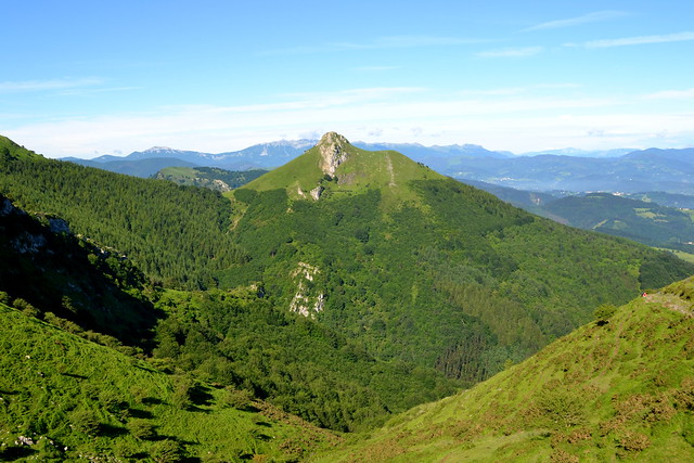
TXINDOKI DESDE PARKING DE LARRAITZ
Trail photos


Author

Trail stats
- Distance
- 6.17 mi
- Elevation gain
- 3,002 ft
- Technical difficulty
- Moderate
- Elevation loss
- 3,002 ft
- Max elevation
- 4,388 ft
- TrailRank
-
63
 5
5
- Min elevation
- 4,388 ft
- Trail type
- Loop
- Time
- 4 hours 20 minutes
- Coordinates
- 1033
- Uploaded
- June 10, 2018
- Recorded
- June 2018
near Urzabal, País Vasco (España)
Viewed 4613 times, downloaded 139 times
Trail photos
Itinerary description
La he puesto como moderada por el desnivel, técnicamente no tiene ninguna complicación.
En algunas zonas, especialmente al comienzo y al final, había bastante barro, producto de tanta lluvia. Cuidado con los resbalones.
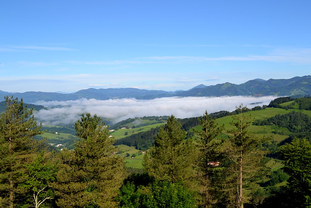
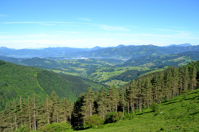
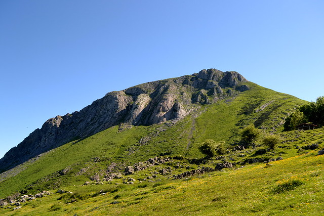
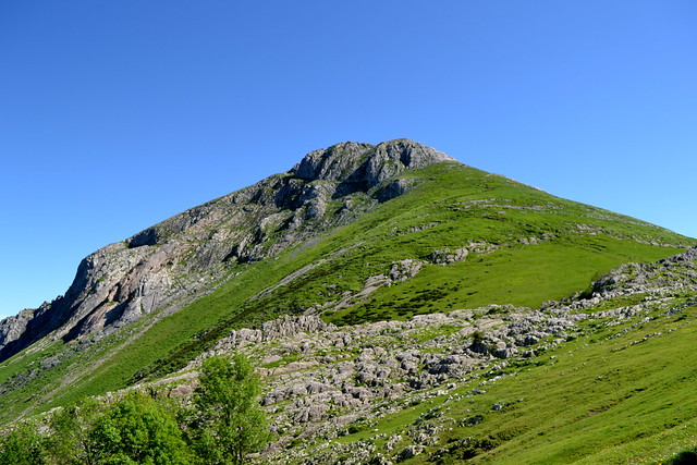
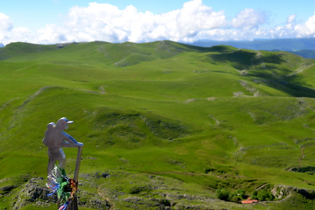
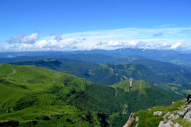
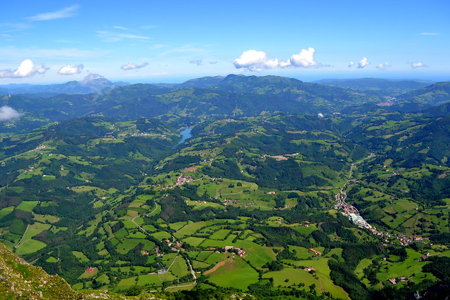
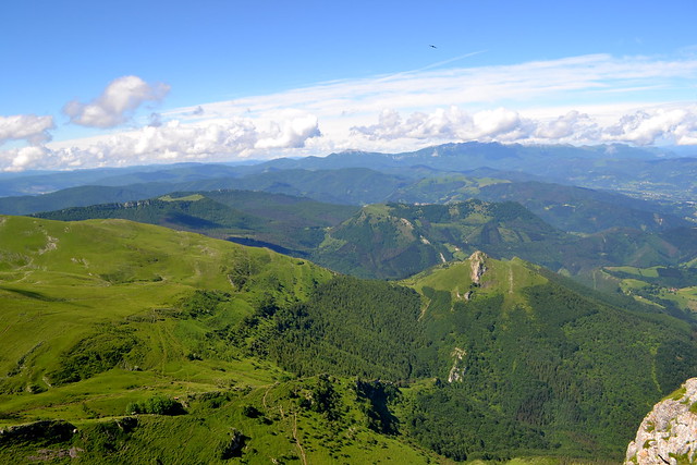
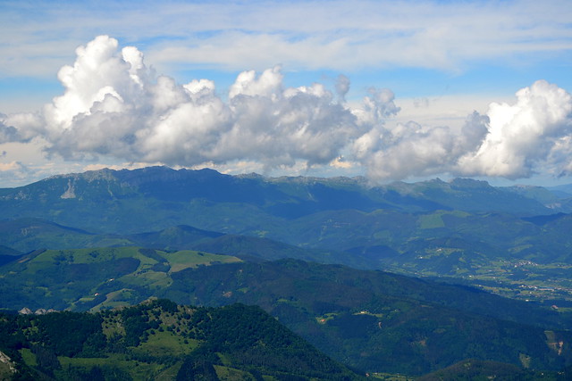
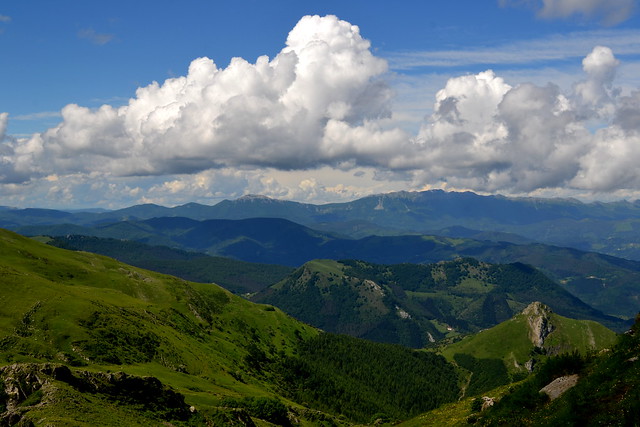
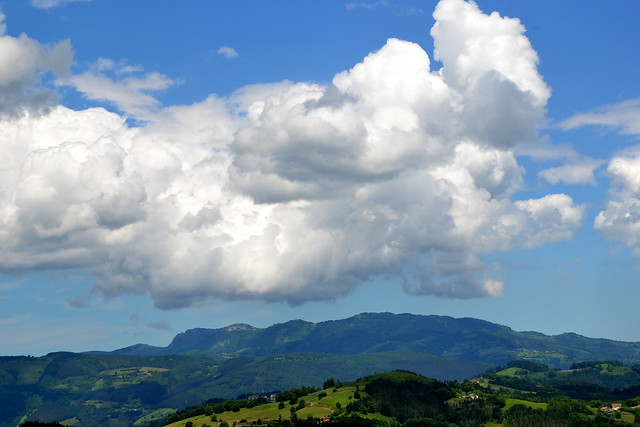
Es la subida clásica a Txindoki. Con buen tiempo, espectacular por las vistas.
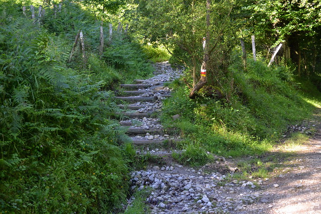
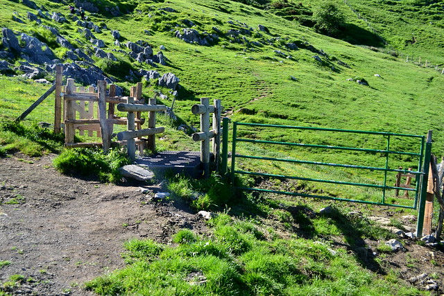
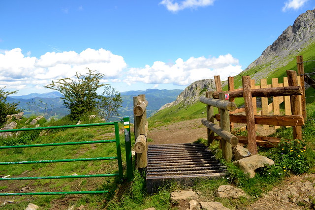
Llegamos hasta el pueblo de Zaldibia y a la entrada del pueblo hay un cartel indicador a Larraitz. Seguimos dirección Larraitz y al principio a mano derecha hay un parking. La ruta comienza tras una valla metálica.

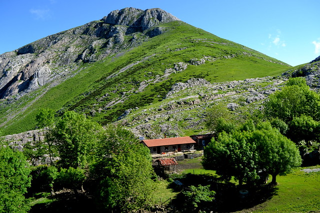


Una vez acabada, junto a la ermita y el parking hay varios bares para poder tomar algo.
En algunas zonas, especialmente al comienzo y al final, había bastante barro, producto de tanta lluvia. Cuidado con los resbalones.
Es la subida clásica a Txindoki. Con buen tiempo, espectacular por las vistas.
Llegamos hasta el pueblo de Zaldibia y a la entrada del pueblo hay un cartel indicador a Larraitz. Seguimos dirección Larraitz y al principio a mano derecha hay un parking. La ruta comienza tras una valla metálica.
Una vez acabada, junto a la ermita y el parking hay varios bares para poder tomar algo.

Waypoints


 Waypoint
 0 ft
0 ft
ERMITA DE LARRAITZ
Gi-2133


Comments (3)
You can add a comment or review this trail
I have followed this trail verified View more
Information
Easy to follow
Scenery
Moderate
Moderado/difícil. Ruta exigente por desnivel considerable. Hay dos fuentes en la ruta, una bastante al inicio cerca de larraitz y una segunda en uno d ellos refugios cerca del último tramo de subida al txindoki.
Ruta muy chula, vistas espectaculares!
Me alegro que te haya gustado, y gracias por comentar!