
Path
Author

Trail stats
- Distance
- 10.81 mi
- Elevation gain
- 4,757 ft
- Technical difficulty
- Moderate
- Elevation loss
- 4,751 ft
- Max elevation
- 2,300 ft
- TrailRank
- 1
- Min elevation
- 279 ft
- Trail type
- Loop
- Coordinates
- 221
- Uploaded
- May 17, 2011
- Recorded
- May 2011
near Los Carriles, Asturias (España)
Viewed 647 times, downloaded 1 times
Waypoints
 Waypoint
 0 ft
0 ft
Subida al Benzúa
 | |
| Subida al Benzúa near Acebal, Asturias (España) by CorrerAsturias | |
 | |
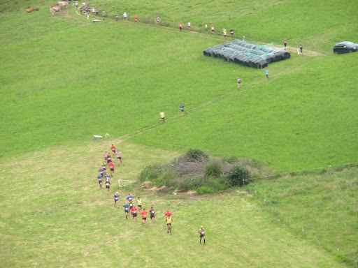 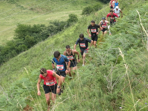  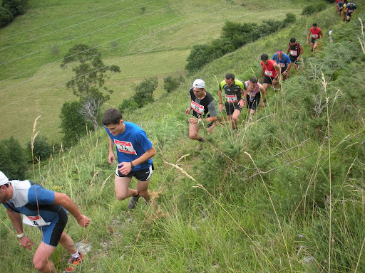  | |
| Carrera por montaña celebrada el 19 de julio de 2009 | |
Upload your trail to wikiloc.com » | |
You can add a comment or review this trail
Comments