


Ushguli - Latpari pass
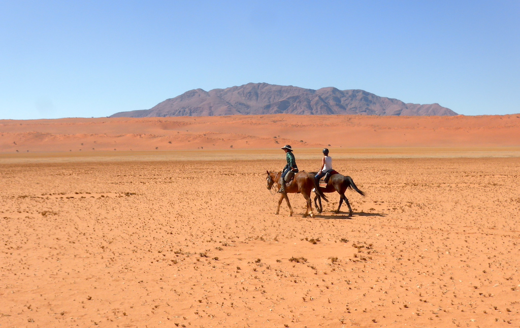
Horseback Riding
near Upper Svaneti (Georgia)
- Distance
- 7.38mi
- Elevation +
- 3743f
- TrailRank
- 47


Ushguli - Latpari pass, with horses. Guides from Ushgully villages. Very nice trip, by the ridge of the mountains. Impressive views to Ushba, Tetnuldi, Shkara, etc. Start very early if you want to walk from Latpari ...


