


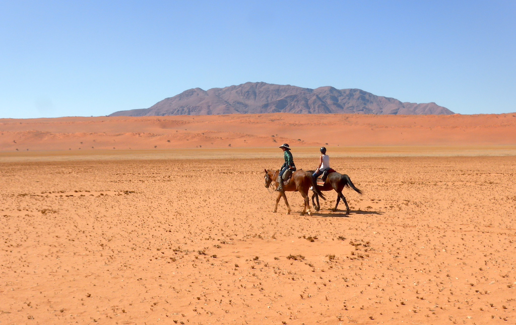

Horseback trails in Mongolia
Horseback Riding
near Bayan Bulagiin Hural, Төв Аймаг (Mongol Uls)
- Distance
- 15.23mi
- Elevation +
- 335f
- TrailRank
- 46


There are wide steppe, rivers, wild flowers and forest in Terelj National Park. You will fine out which is the best way to explore to this nature and how much the horse riding is interesting here. Be careful accrossing w...


